
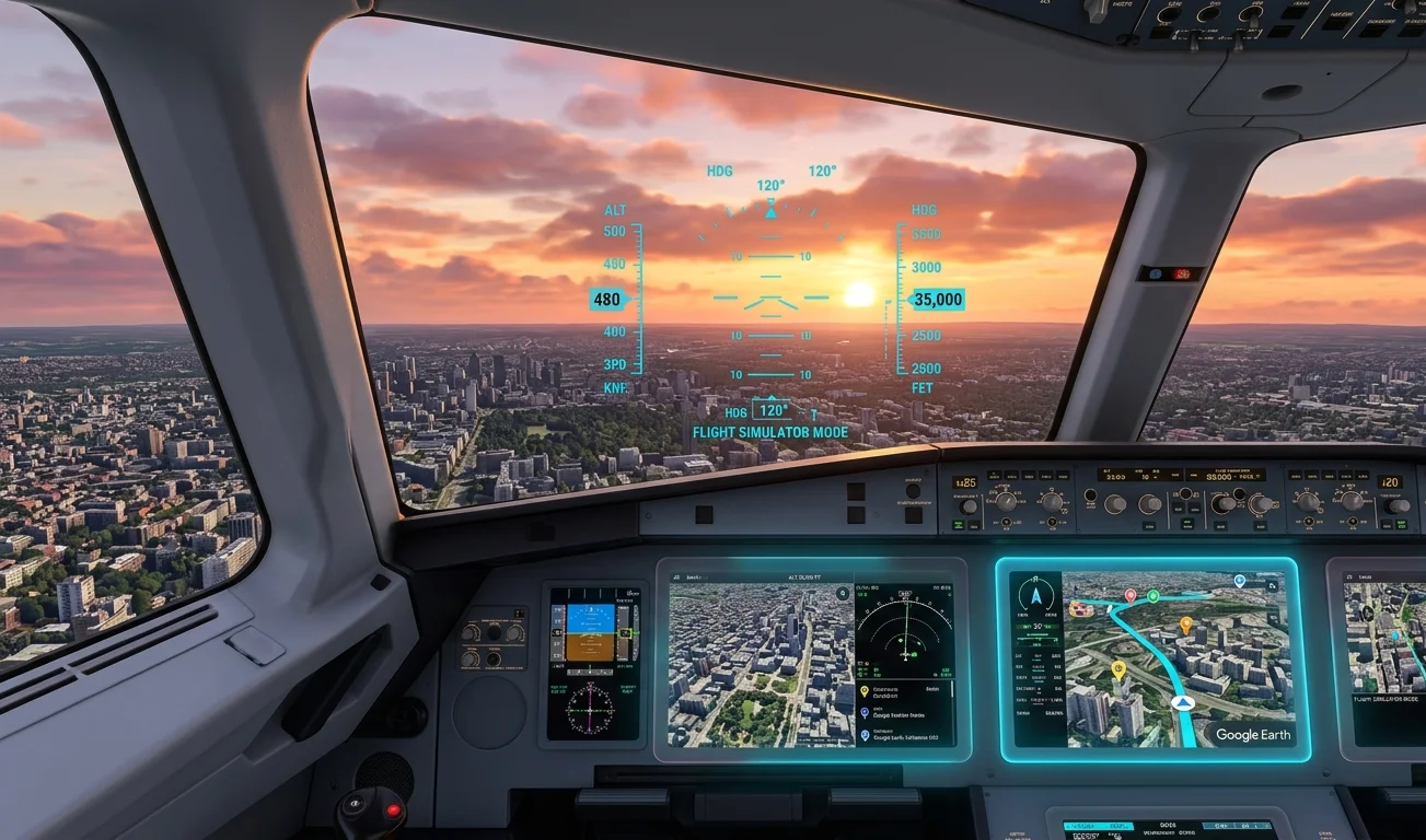
Evolution of Google mapping technologies
The flight simulator feature is now available in the web version of the Google Earth mapping service. Previously, this tool was present exclusively in the desktop version of Google Earth Pro as an additional feature that users activated through the tools menu or a keyboard shortcut. The transfer of this functionality to the web environment was made possible by the development of WebAssembly and WebGL technologies. These standards allow complex 3D graphics to be processed directly in the browser window without the need to install additional software. Historically, the Pro version cost around 399 USD per year for corporate clients before becoming free in 2015. Now, basic simulation tools are available to every user of modern web browsers.
Technical aspects of landscape rendering
The basis for flight visualization is the 3D data streaming engine. Unlike classic games where maps are stored on a local drive, Google Earth downloads photogrammetry and satellite imagery in real time. The service uses a Level of Detail system. When the aircraft is at high altitude, low-resolution textures are displayed. During descent, algorithms load detailed models of buildings, trees, and terrain. This process requires significant computational resources and a stable connection.
Hardware requirements for the browser
For the simulator to run smoothly at 60 frames per second, the system must meet certain criteria. Insufficient performance leads to delays in loading textures, causing the landscape to appear blurry.
- Processor – a multi-core chip with support for hardware acceleration instructions in the browser.
- RAM – minimum 8 GB to provide a spacious browser cache.
- Graphics card – modern integrated graphics or a discrete adapter supporting WebGL 2.0.
- Network – download speed of at least 50 Mbps for smooth streaming of 3D city models.
Available aircraft models and flight physics
Currently, the developers offer two basic models of aircraft. They have different aerodynamic characteristics, which are calculated by the engine in a simplified form. This is not a professional training simulator, so wind parameters, turbulence, and weather conditions are not taken into account. The main goal is to provide the ability to move quickly over the map.
Integration of peripheral control devices
By default, control is carried out using a keyboard and mouse. Mouse movement is responsible for tilting the yoke, and the keys control engine thrust, flaps, and landing gear. Thanks to Gamepad API support in modern browsers, users can connect basic gamepads or specialized joysticks. The system automatically recognizes the device, but configuring axes and buttons may require manual adjustment in the parameters menu.
Data consumption economics
An important aspect of using the web version is the amount of data downloaded during the flight. Since the user moves across the map much faster than during normal browsing, the browser constantly requests new map fragments. When flying an F-16 at low altitude over detailed cities (such as New York or Tokyo), traffic consumption can reach 2-3 GB per hour. Users with metered data plans should consider this factor.
Practical application of the tool
In addition to the entertainment component, the integrated flight simulator has practical value for educational and research purposes. Geography teachers can use it to visually demonstrate terrain, mountain ranges, or the scale of urbanization. Architects and urban planners get the opportunity to evaluate the location of objects from a bird’s eye view in dynamics. Although the tool does not compete with specialized flight planning software, it is a convenient and free solution for basic spatial analysis tasks, accessible without complex configurations.



0 Comments